Crossings: Gulf Coast
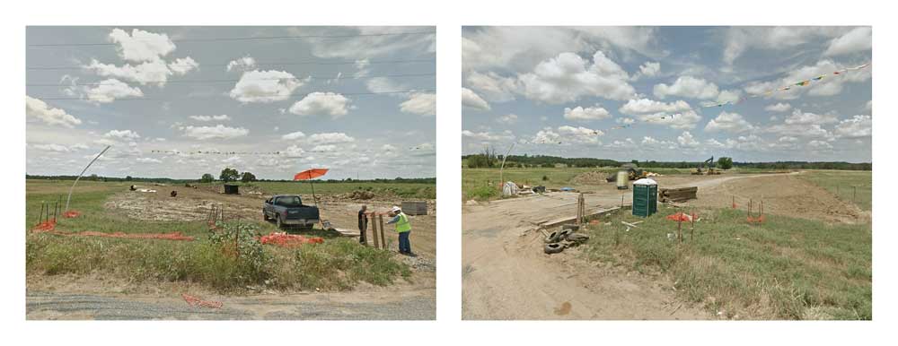
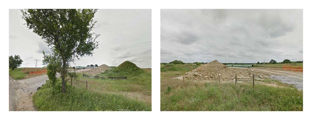
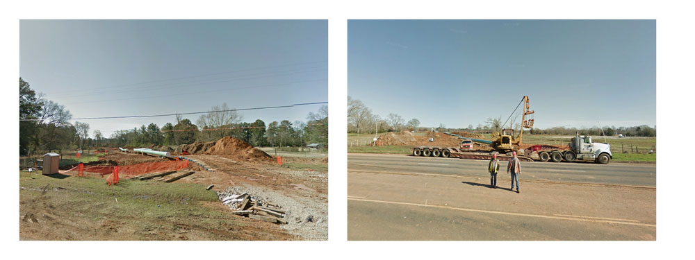
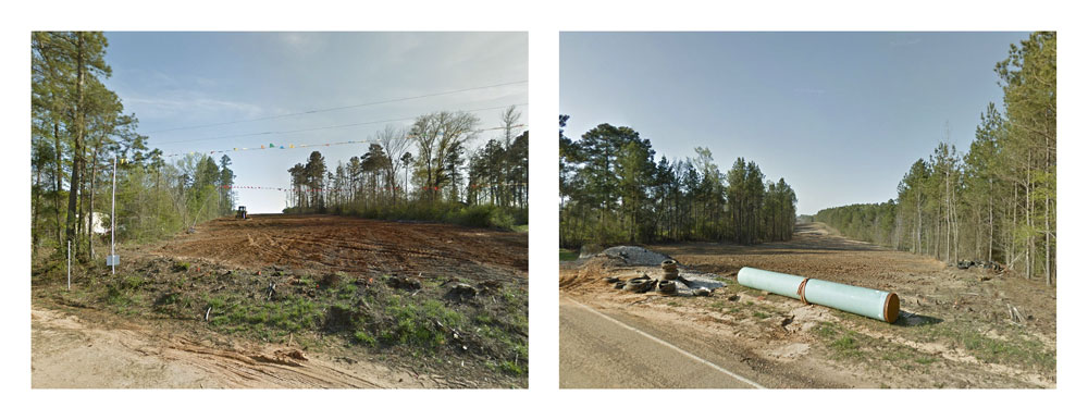
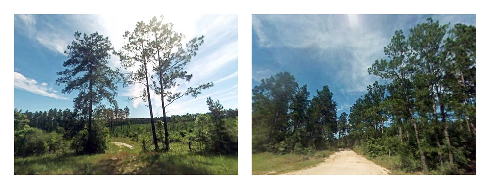
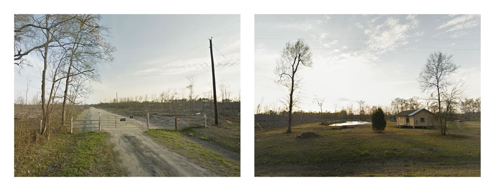
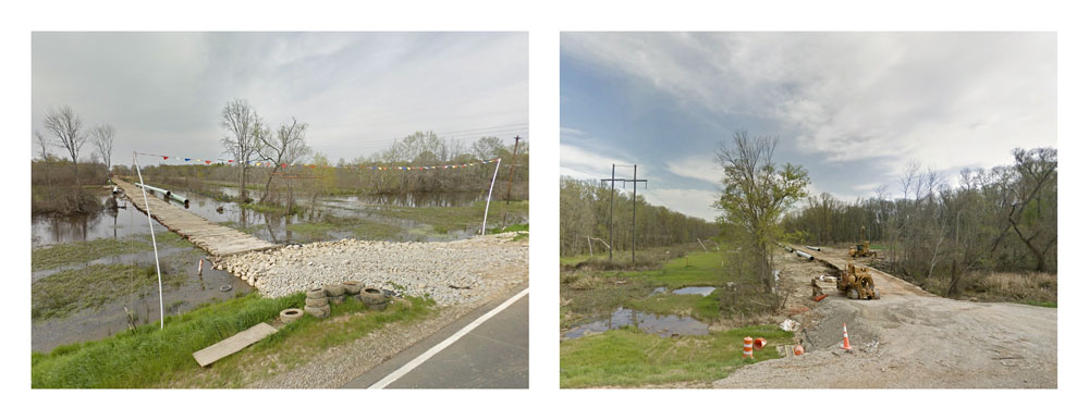
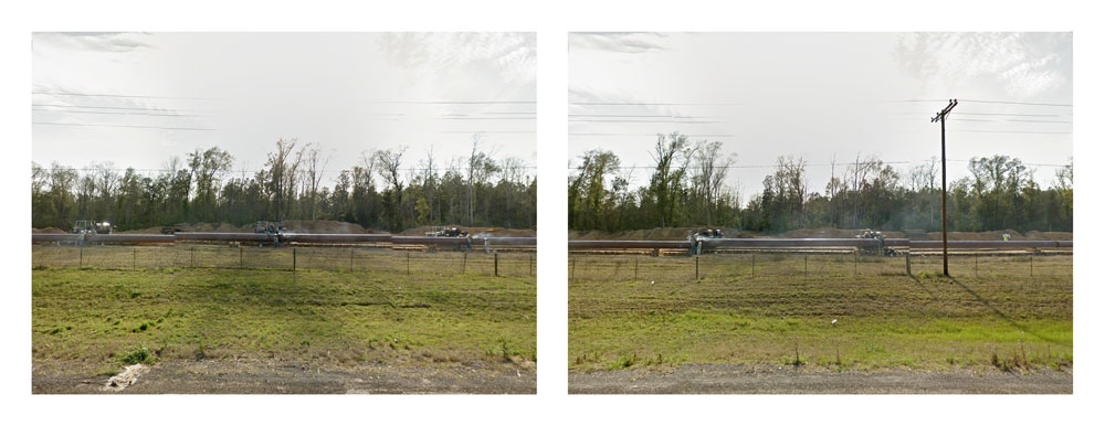
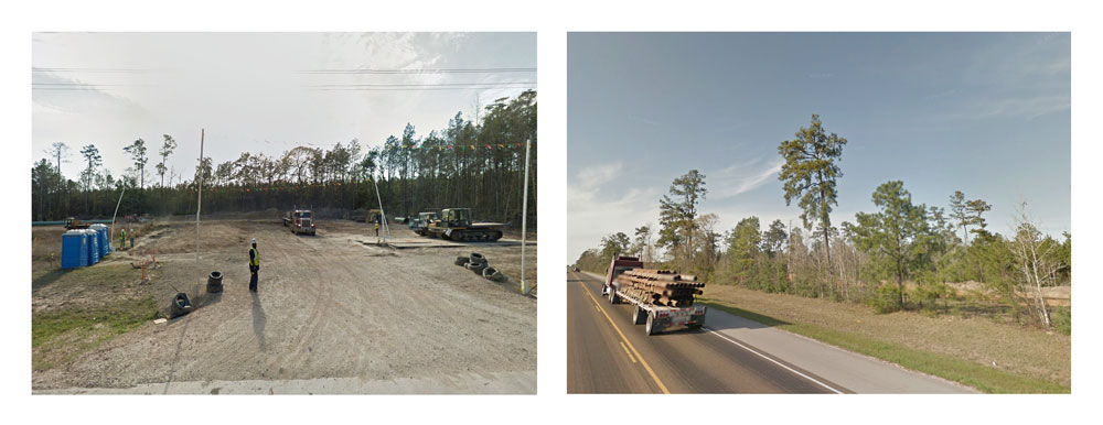
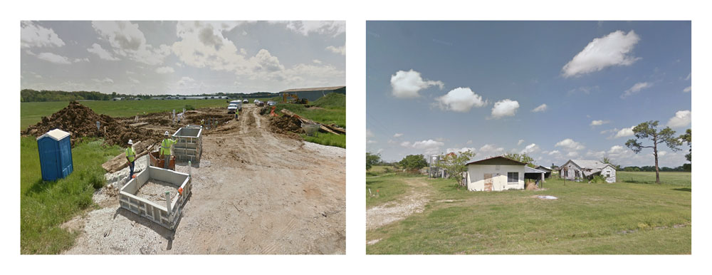
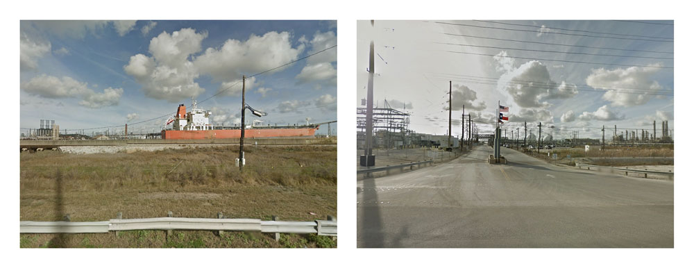
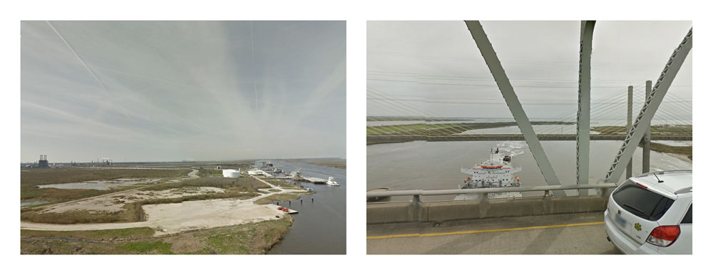
In Crossings, the controversial delivery of tar sands oil to Port Arthur, Texas is examined at ground level through the dispassionate eye of Google Street View, the automated documentarian of our nation's roadways. The 180° diptychs compiled here are composed of opposing camera views from each intersection between the Keystone XL pipeline corridor and the roving camera. This is a historical moment, captured incidentally, accessible for a year or so, and then deleted from the record at the next passing of the camera.
Without rehtoric and hyperbole, we witness as passersby, indeterminate sections of the pipeline corridor from the roadside — largely the only public access to the 2,000 mile project. Undeveloped stretches are recognized by petroleum pipeline markers on fences bordering forest or agricultrual lands. An existing easement, repurposed or expanded, may appear as a dirt track vanishing into the brush. Construction zones are seen crossing woodland, wetland, and farm alike, in all stages of development, from timber and brush clearing, to bulldozing, trenching, and pipe welding. While both the project's developer and regulators have hampered environmental review by refusing to release the pipeline route data, ostensibly for national security reasons, here we find the Keystone XL in its enormity, hundreds of feet in breadth stretching to horizon after horizon in a very public fashion.
What are we to make of this hidden landscape, one intended to bisect the country? Terrorist target? Transportation corridor for extracted resources destined for world markets? Agrarian community? Endangered native praire, scrub, marsh, and forest?
More fundamentally, now that the hidden landscape is revealed, what is it we see? What is the story told by the satellite and roving camera?
The views in this portfolio are but a small selection contained in the Keystone Mapping Project. For a complete view of the Gulf Coast crossings, as well as other states, visit the KMP "Crossings" web page.