
Keystone Kansas
In the midst of a cross-country drive, coming upon the Keystone Pipeline route in Kansas felt like a homecoming. I diverted from my westward progress to drive south along the pipeline. Although I was new to this part of the country, much of it looked familiar.
In 2011 I had begun research on the Keystone and Keystone XL routes with the aim of a photographic exploration. A single-page map from its builders, TransCanada, showed 4,000 miles of pipeline cutting through the North American continent from northern Alberta, Canada to the Gulf Coast of Texas. I was struck by the enormity of the devisive project –truly a metaphore for our fossil-fuel centric economy and the energy and environmental crises confronting the nation.
When an Internet search for a digital map came up empty, I looked to the proposed Keystone XL's environmental impact statements. There I discovered that the route data had been redacted. Soon I learned that neither TransCanada nor the Department of State, the lead regulator for the project, would release the data. In this age of ubiquitous surveillance and sharing, what was the big secret? How did they expect the public to review a construction project that crossed seven states –not counting the hundreds of miles stretching north into Canada or the already completed Keystone Pipeline that extended over 2,000 miles from Alberta to Oklahoma? As with any good artistic endeavor, the realities were setting their own terms. I turned my creativity towards these constraints. Thus began an eleven year odyssey of FOIA requests, legal battles, bureaucratic dallying to discover the official route and, ultimately, alternative map-making and a new vision for the project involving publicly-sourced, machine-generated photography (Visit the Keystone Mapping Project to learn more).
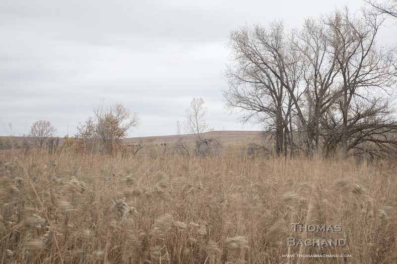
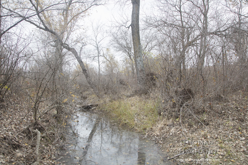
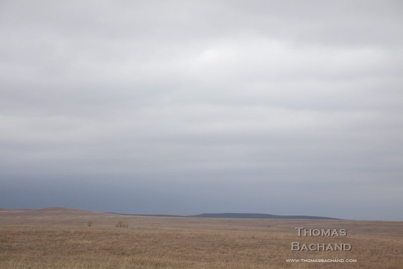
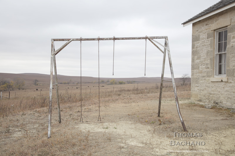
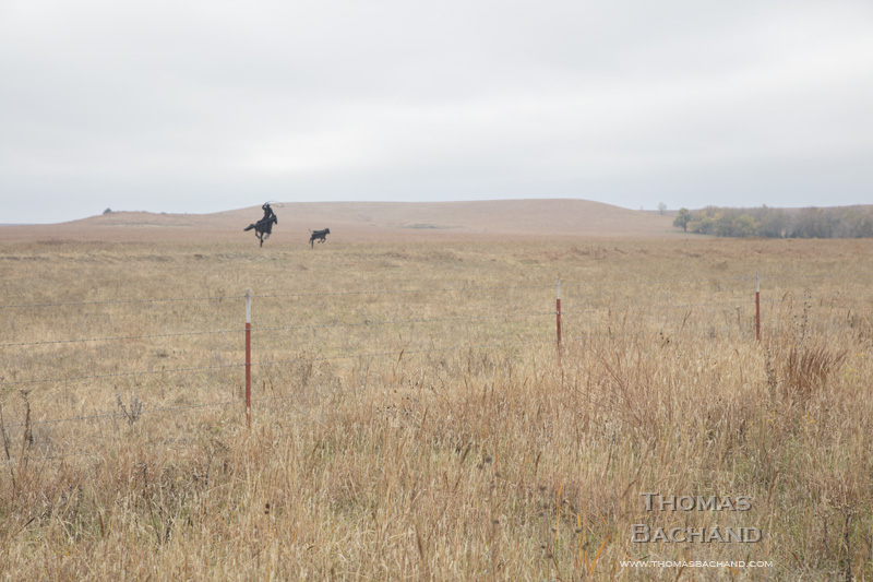
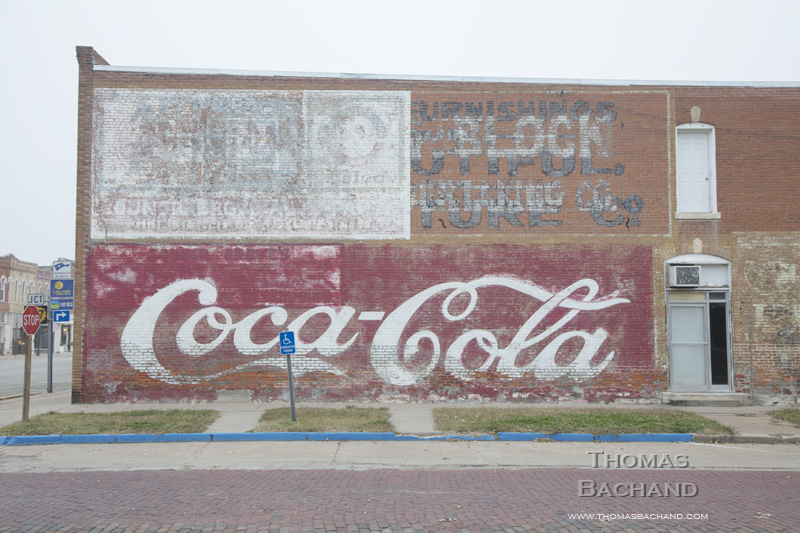
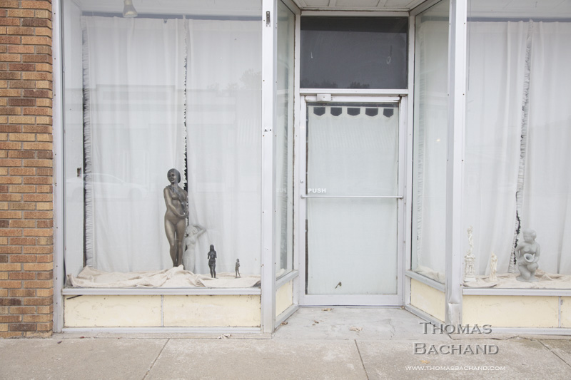
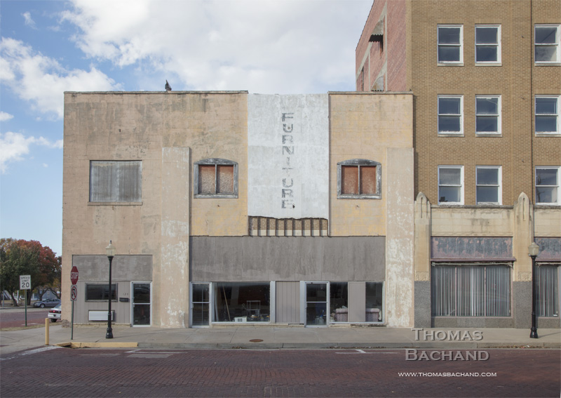
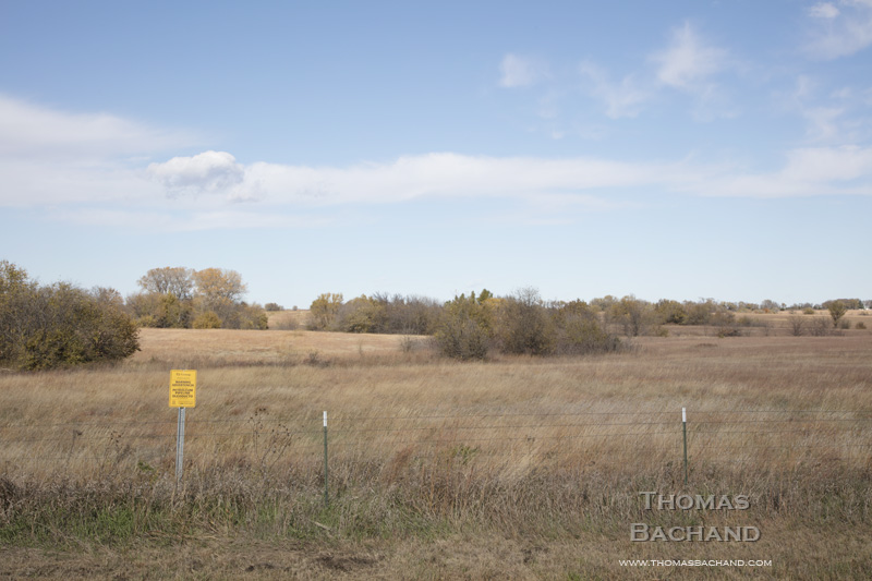
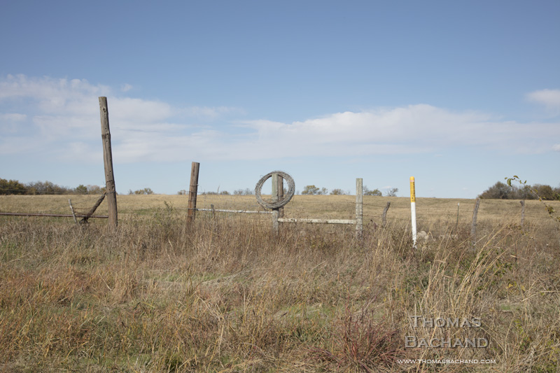
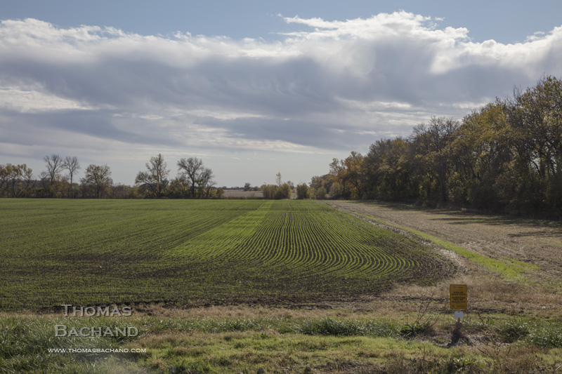
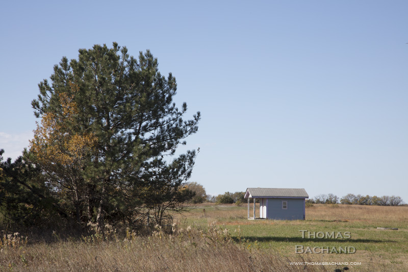
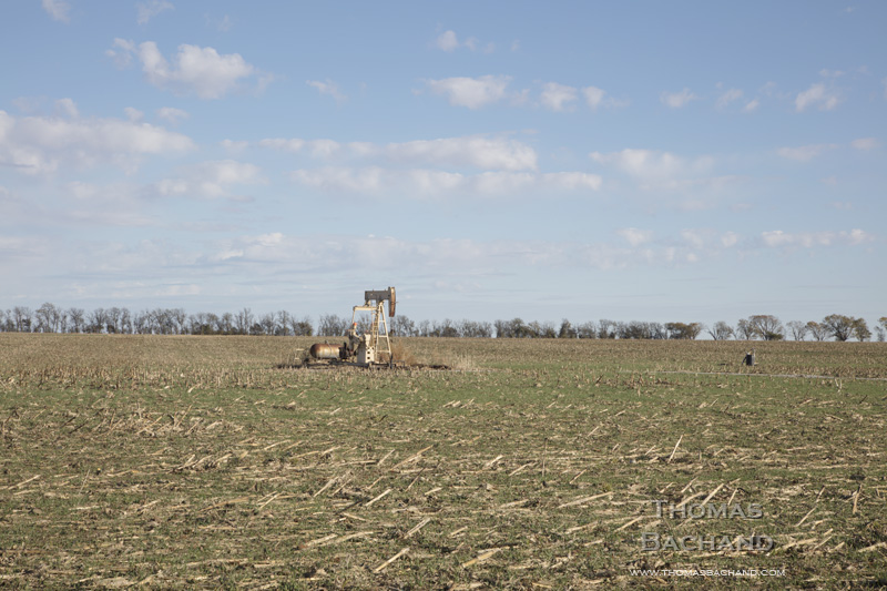
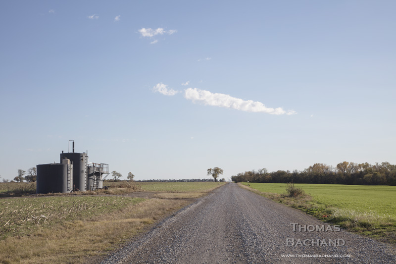
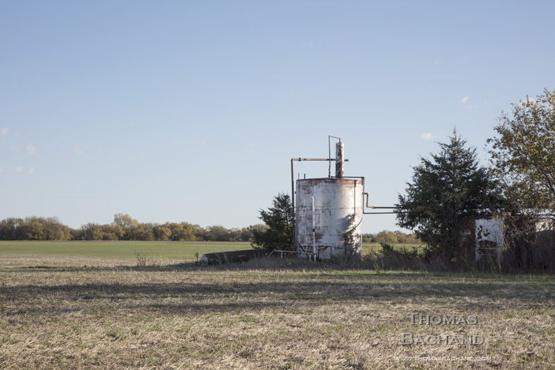
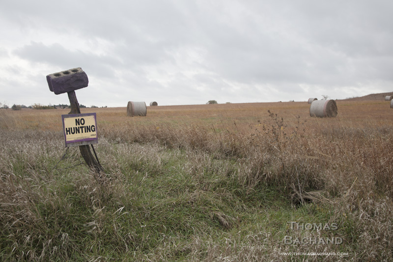
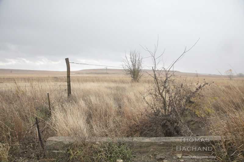
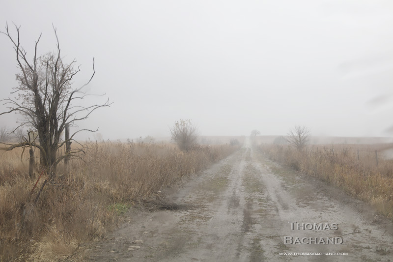
Thus, in 2022 with that phase of my Keystone Mapping Project completed, it is this portfolio, created with camera in hand, that marks a departure. Gone is the clockwork of the satellite or car-top camera. Leaving the well-traveled byways in search of this hidden pipeline, I often found myself alone, no longer staring at the commerce of a map or the expeditious street-view imagery. The wash, the relcaimed prarie, the cowboy art, the faded advertising –these were intimate landscapes. I felt as if I were a dinner guest stumbling upon a back bedroom, catching a glimpse of lives in progress and left behind.
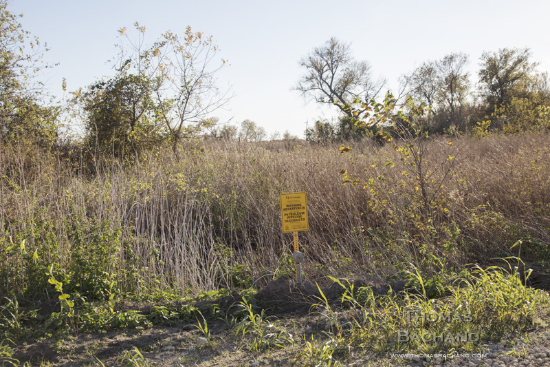
And, then there were the yellow signs. Always the signs. A reminder of what was running beneath it all.