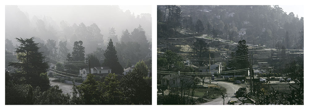
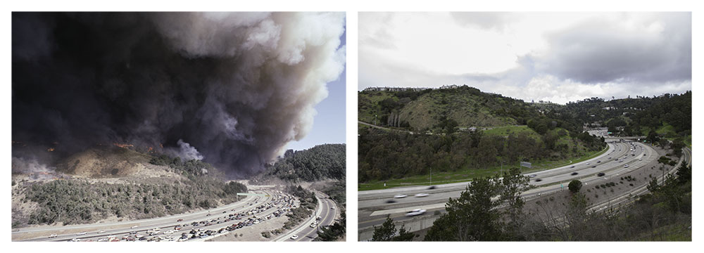
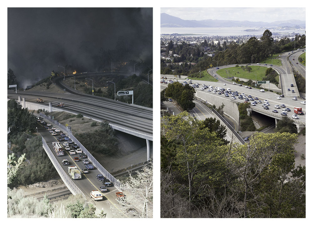

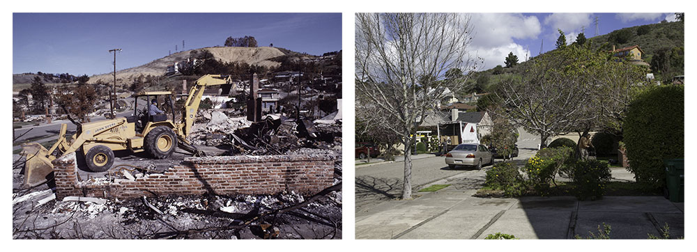
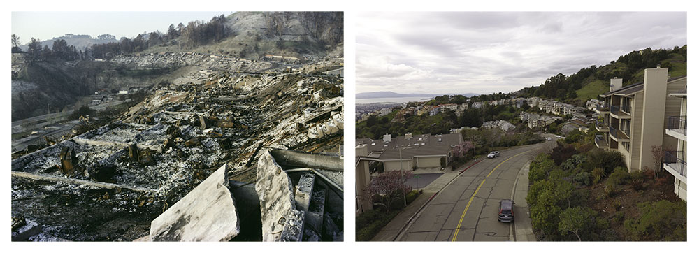
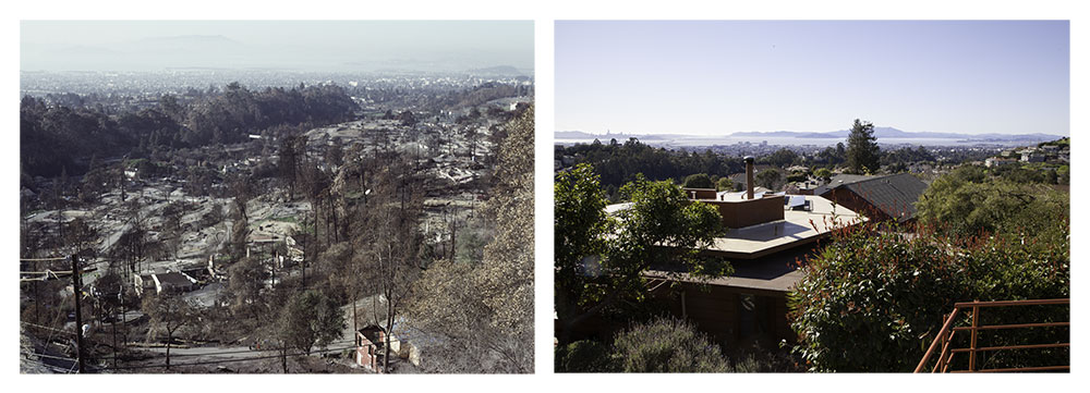
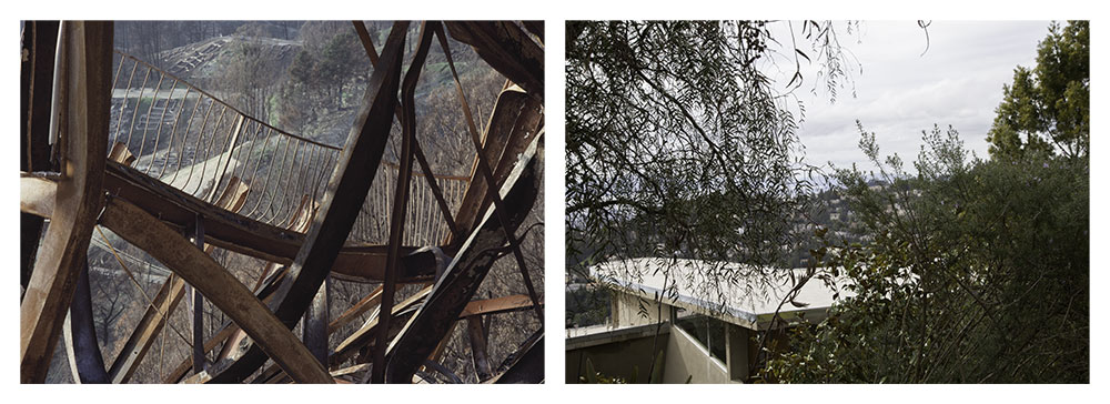
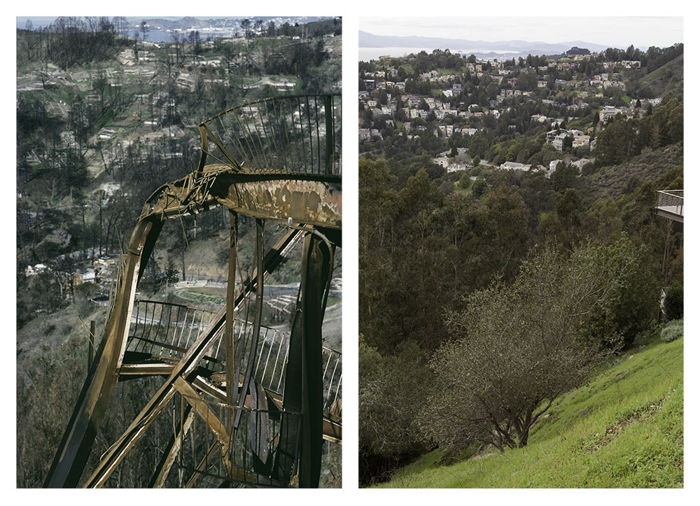
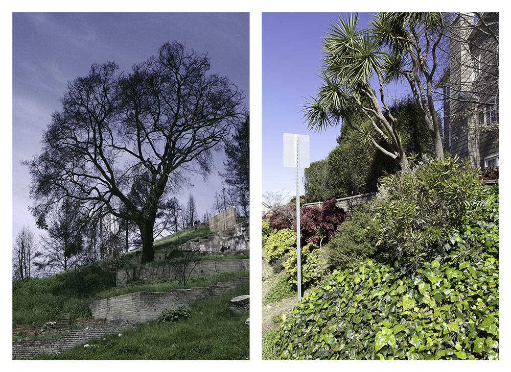


Oakland Fire Rephotograph
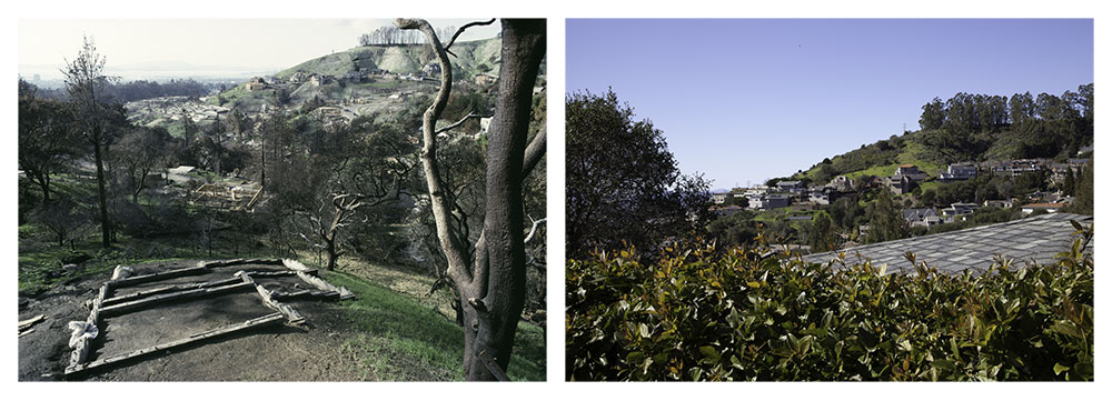
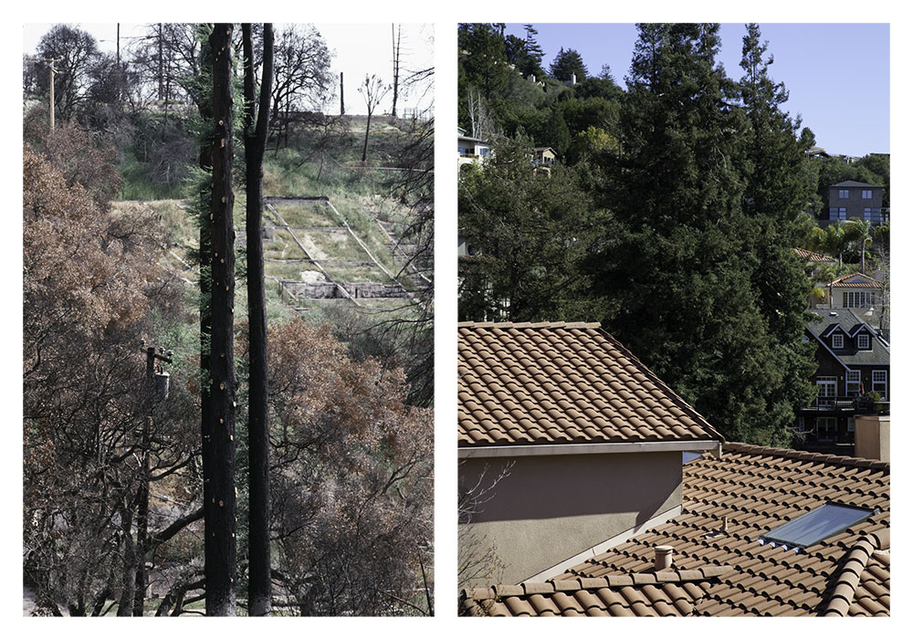
This 2019 rephotography takes a second look at the hill neighborhoods destroyed by the Oakland Firestorm of 1991. A study by the University of California at Berkeley showed that this urban wildfire, while kindled by an improperly extinguished grass fire, was largely driven by the burning homes. Stripped of the mid- to late-Twentieth Century architecture that came to characterize the Oakland and Berkeley hills (over 3,000 destroyed homes in total), briefly a semblance of an earlier landscape, originally covered in open grassland and oak woodlands, returned.
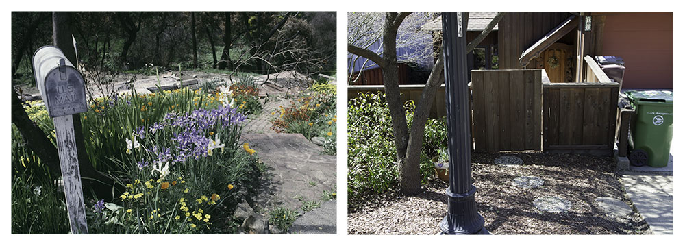
Today the area is a mixture of structures; some rebuilt to original specifications, but most of contemporary custom design. The resulting milieu has been largely dependent upon the extent of homeowners' insurance coverage and their tenacity in battling the various corporate and government bureaucracies. The narrow, winding hillside streets remain, but almost universally, the homes are much larger, filling the modest lots to capacity. This outsized construction reflects both the replacement costs of difficult-to-obtain original materials and simple market economics, whereby homeowners subsidized their settlements so as to build bigger and capture maximum value. City officials eased the path, sympathetic to homeowners' desires to rebuild quickly.
Above the grassy slope where the fire began, the development of townhomes has been rebuilt as before. The surrounding hills and valleys reveal a scarcity of vacant lots.