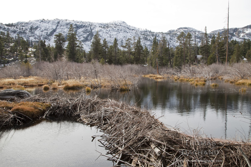
Beaver dam. Glen Alpine Creek watershed. Fallen Leaf Lake. South Lake Tahoe, CA.
In celebration of the Nevada Museum of Art’s “Tahoe: A Visual History,” this week’s posts are drawn from my Lake Tahoe work.
This image is part of my long term study of the Lake Tahoe region. More of my Tahoe work can be found at Lake Tahoe photography. For more on my best-selling monograph, visit Lake Tahoe: A Fragile Beauty (Chronicle Books).
For information on this image, including archival print purchase, contact me with the title of this post.