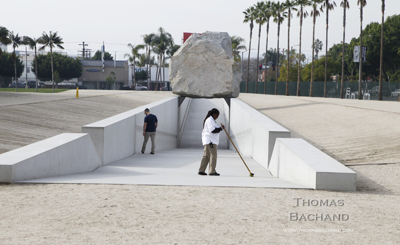
Sweeping. Los Angeles County Museum of Art.
For a closer look at my editorial work, visit my editorial portfolio.
Registered © Thomas Bachand. All Rights Reserved.

Sweeping. Los Angeles County Museum of Art.
For a closer look at my editorial work, visit my editorial portfolio.
Registered © Thomas Bachand. All Rights Reserved.

Canoes. Point Reyes National Seashore.
This work is part of my examination of the California coast. For more, visit California Coast.
Registered © Thomas Bachand. All Rights Reserved.
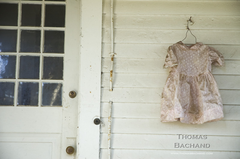
Dirty Dress. Fort Cronkite. Golden Gate National Recreational Area.
This work is part of my examination of the California coast. For more, visit California Coast.
Registered © Thomas Bachand. All Rights Reserved.
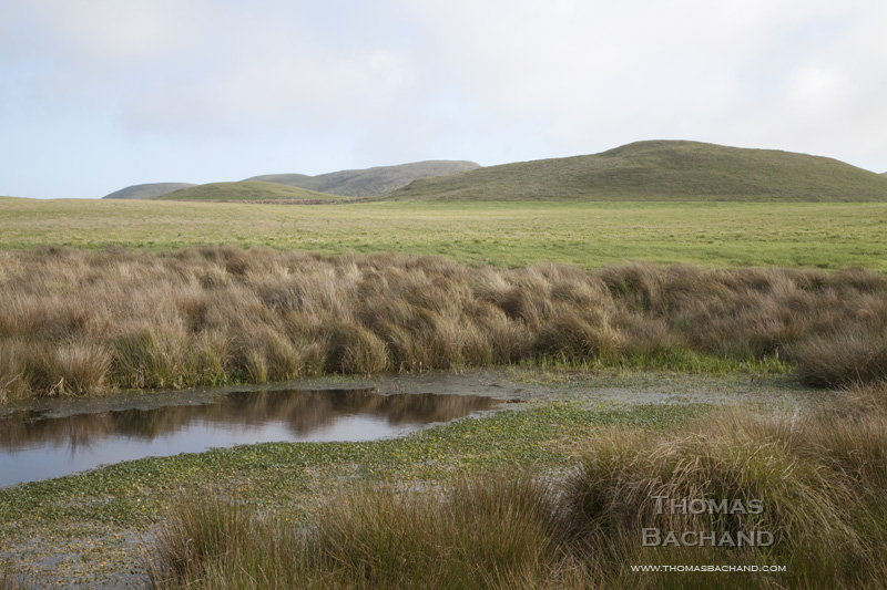
Pasture. Point Reyes National Seashore.
This work is part of my examination of the California coast. For more, visit California Coast.
Registered © Thomas Bachand. All Rights Reserved.
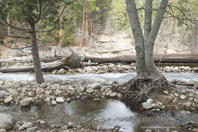
Late Autumn River. Yosemite National Park.
Yosemite is an iconic landscape that has been closely examined by artists for well over a century. In keeping with this tradition, my photography of the park is varied and experimental. For more, visit my Yosemite and Digital History portfolios.
Registered © Thomas Bachand. All Rights Reserved.
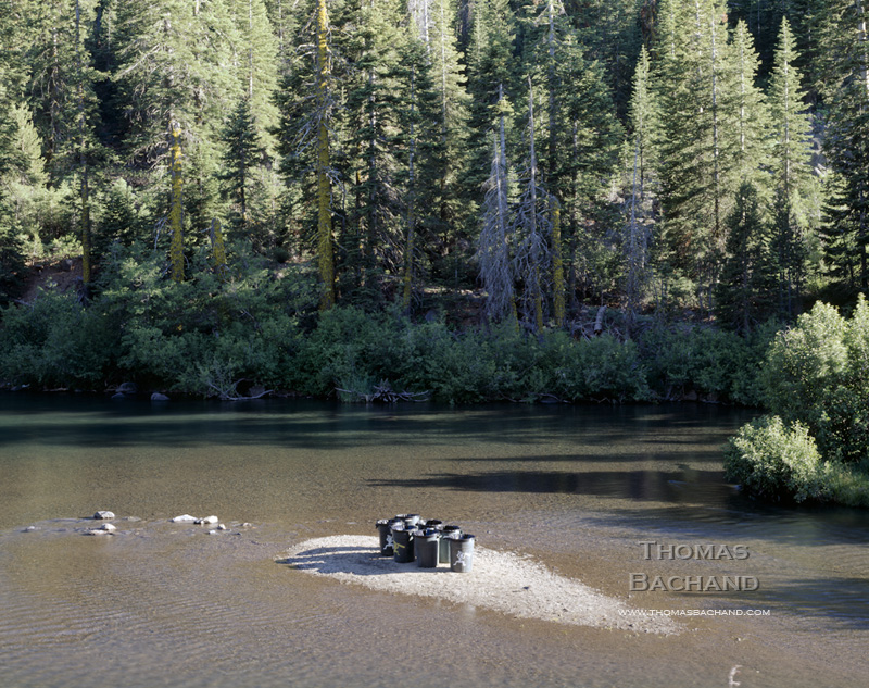
Trash Cans on the Truckee River. Lake Tahoe.
This work is part of my long term study of the Lake Tahoe region. More of my Tahoe work can be found at Lake Tahoe photography. For information on my best-selling monograph, visit Lake Tahoe: A Fragile Beauty (Chronicle Books).
Registered © Thomas Bachand. All Rights Reserved.
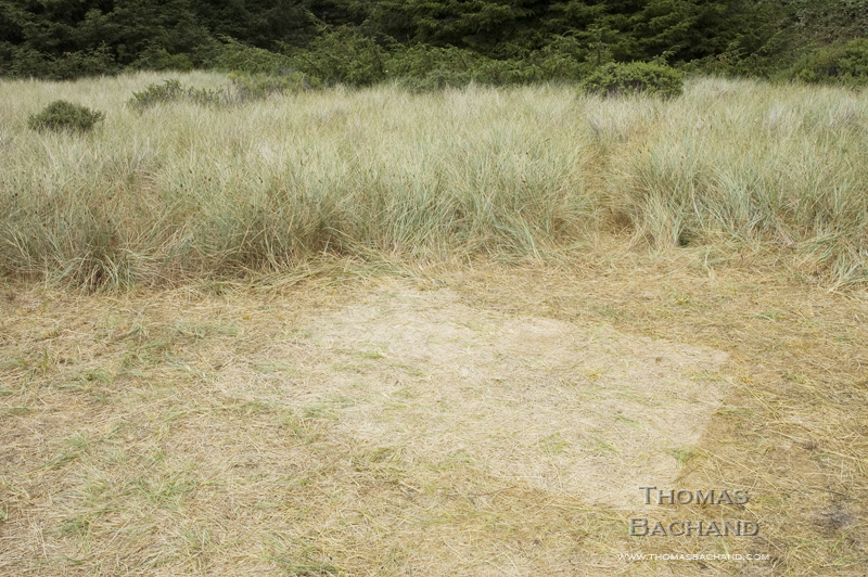
Fog Shadow: Redwood National Park.
This work is part of my examination of the California coast. For more, visit California Coast.
Registered © Thomas Bachand. All Rights Reserved.

Crossings: US 84. Texas. 180° Diptych Series of Keystone XL Pipeline construction corridor. Google Street View 2013.
In Crossings, the controversial delivery of tar sands oil to Port Arthur, Texas is examined at ground level through the dispassionate eye of Google Street View, the automated documentarian of our nation’s roadways. The 180° diptychs compiled here are composed of opposing camera views from each intersection between the Keystone XL pipeline corridor and the roving camera. This is a historical moment, captured incidentally, accessible for a year or so, and then deleted from the record at the next passing of the camera.
For more, visit Crossings and the Keystone XL Mapping Project.
Registered © Thomas Bachand. All Rights Reserved.
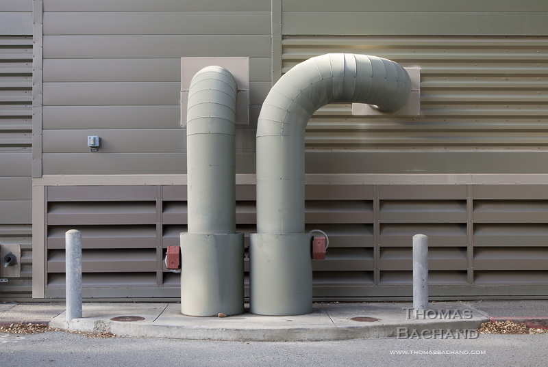
Energy Plant
Visit my commercial photography portfolio.
Registered © Thomas Bachand. All Rights Reserved.
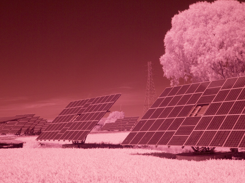
Solar Farm
Visit my commercial photography portfolio.
Registered © Thomas Bachand. All Rights Reserved.