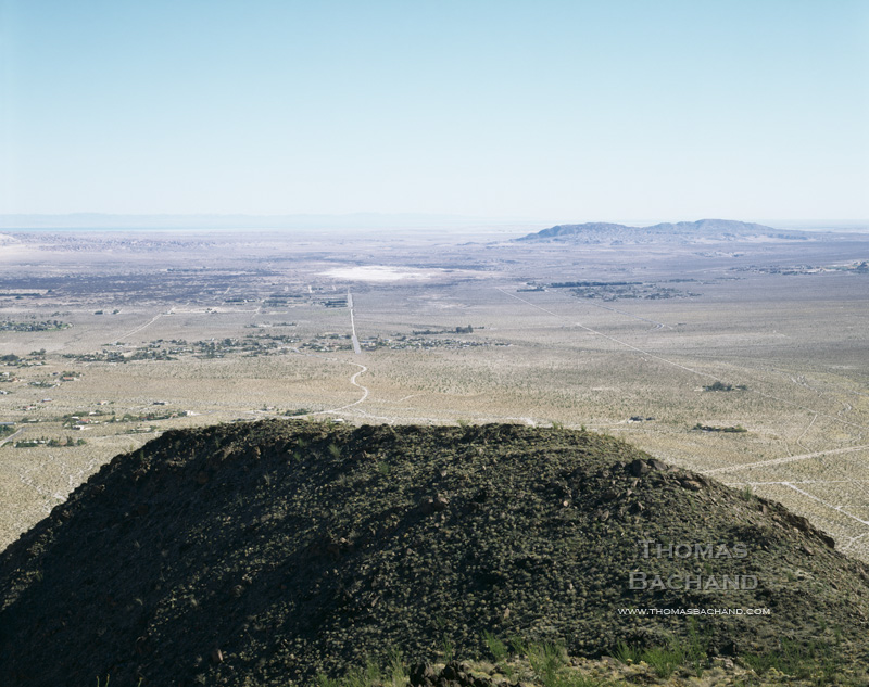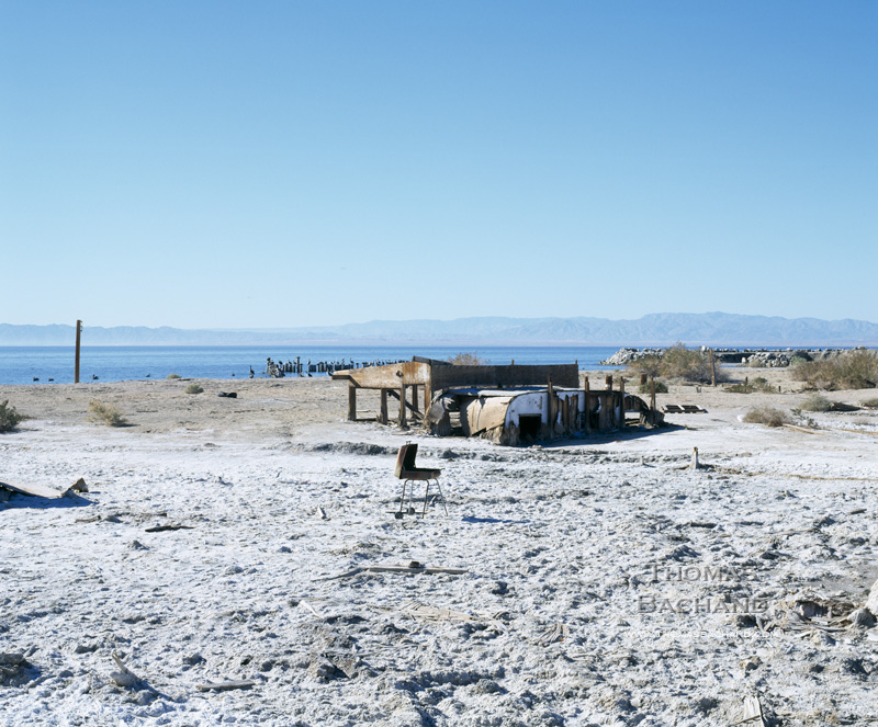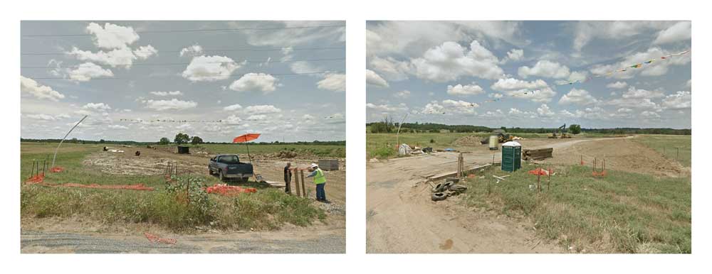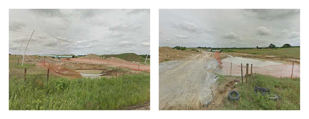
Crossings. Centrahoma, Oklahoma.
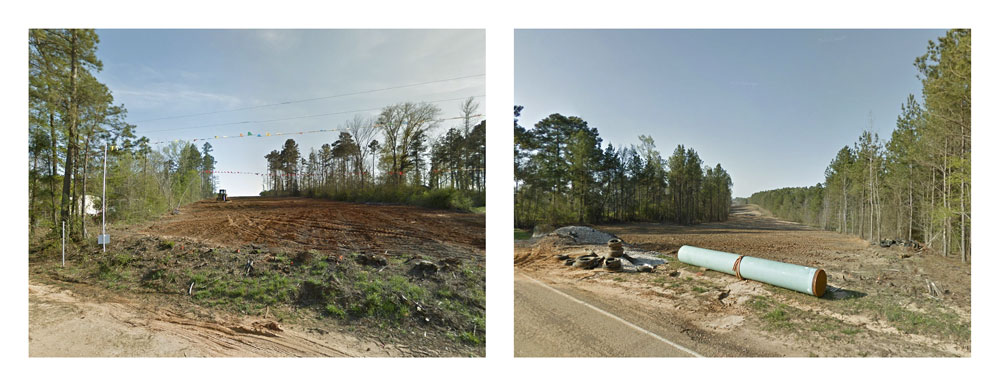
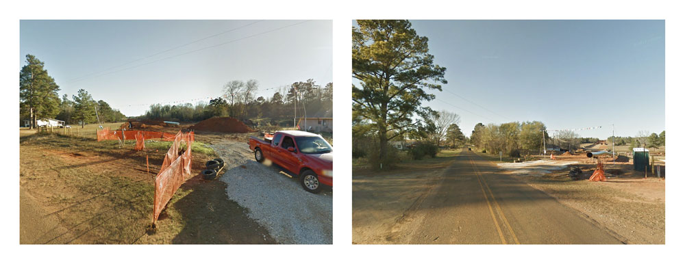
In Crossings, the controversial delivery of tar sands oil to Port Arthur, Texas is examined at ground level through the dispassionate eye of Google Street View, the automated documentarian of our nation’s roadways. The 180° diptychs compiled here are composed of opposing camera views from each intersection between the Keystone XL pipeline corridor and the roving camera. This is a historical moment, captured incidentally, accessible for a year or so, and then deleted from the record at the next passing of the camera.
Underlying this work are the Keystone Mapping Project’s custom maps — the only publicly available interactive maps of the proposed Keystone XL pipeline. With over 150,000 visitors, the KMP website has been and invaluable resource to communities, landowners, journalists, researchers, nonprofits, and other stakeholders.
For more on this series, visit Crossings and the Keystone Mapping Project.
For information on this image, including archival print purchase, contact me with the title of this post.
Registered © Thomas Bachand. All Rights Reserved.