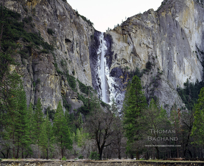
Lake Tahoe from edge of pier. Sugar Pine Point State Park. California.
A couple of years ago on a warm, mid-summer day, we launched our kayak onto Rubicon Bay’s clear and smooth waters – so clear, it felt as if we were flying over the rippled sands 20 to 30 feet beneath Tahoe’s surface. Paddling toward deeper water, the sandbar suddenly ended and the lake bottom plunged into the darkened depths. As if suspended, we felt a sense of vertigo.
This year, after Labor Day, we returned once again to “fly” above Rubicon’s sandy bottom. To our dismay, the waters were clouded, the lake bottom detail indistinguishable and, as we paddled into deeper water, the green of the shallows simply faded to the black of the depths. To quote Marlin from Finding Nemo, “Good feeling gone.”
Following the publication of the 2011 State of the Lake Report by the Tahoe Environmental Research Center and its finding that lake clarity dropped by four feet in 2010 (to 64 feet), there were a number of articles on current conditions at Tahoe (UC Davis, Los Angeles Times, KQED). In recent decades Tahoe research has become increasingly sophisticated and comprehensive. While the Secchi disk depth-visibility measurement continues to be the benchmark on clarity, today, a more broad set of factors are being examined, including stream runoff, road dust, lake temperature and mixing, invasive species, forest conditions, and remote sensing data. It is clearly understood that Tahoe’s problems circulate with the waters and are not confined by borders. My summer Rubicon excursion leads me to believe that next year’s State of the Lake report will detail a steeper decline in clarity.
The buried lead in the report is that, just as the lake knows no borders, our political approach must not either. The authors underscore the need for continued cooperation between California and Nevada (i.e. support for the Tahoe Regional Planning Agency – TRPA). Meanwhile, the media has given little attention to Nevada’s intent to pull out of TRPA. The state feels the bi-state agency hinders development. Many of us find this odd as TRPA exhibits a pro-developer bias and has yet to turn down a major project. Regardless, California’s politicians are scrambling to negotiate with Nevada. Nevada’s tactics are familiar: invent a crisis whose resolution serves your special interest.
Lake Tahoe now finds itself the latest target of the deregulators and science deniers.