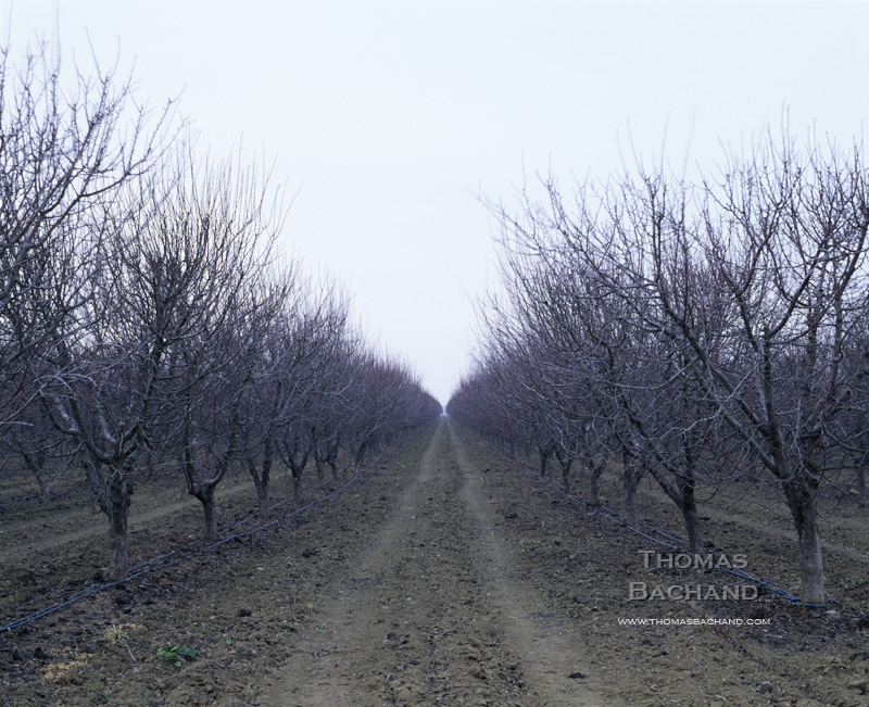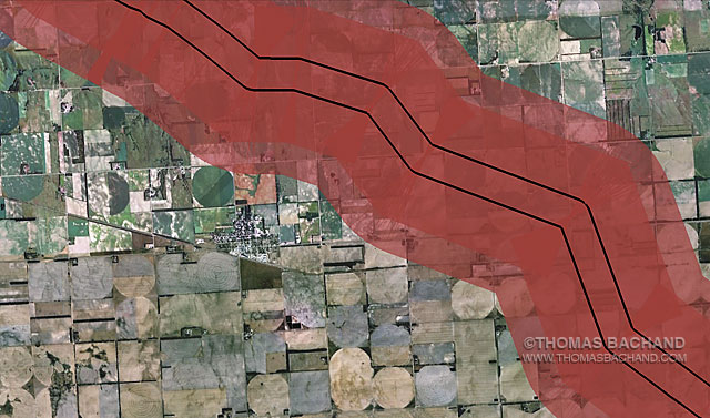
Voluntary Evacuation Zone. Orchard Nebraska. From the Keystone Mapping Project.
The Keystone XL Voluntary Evacuation Zone is based on the health department response to a diluted bitumen spill in Michigan’s Kalamazoo River. Drawn from the Keystone Mapping Project Google Earth view, these images form the basis for Thomas Bachand’s VEZ Grid Abstracts series, an exploration of both our perception of, and impact upon, the landscape — seen and unseen. Combining satelite imagery with custom mapping features, the panels examine the interplay of physical and human geography. In series, the photography reveals broader patterns and larger questions. For more, visit the Voluntary Evacuation Zone.
Registered © Thomas Bachand. All Rights Reserved.